3D Geospatial Intelligencefrom any video
Reconstruct 3D objects from any video or photo set and place them on a collaborative map. From UAV to social media — built for investigators who need results.
Capabilities
Everything the modern investigator needs
From raw footage to a geo-referenced 3D scene — a complete platform for open-source geospatial work.
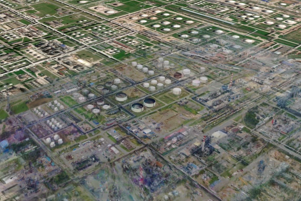
3D reconstruction — outdoors, indoors & objects
Generate 3D models from videos and photo sets. Works with any source — from aerial drones and dashcams to intercepted streams and social media.
- Aerial drones (UAV) & ground drones (UGV)
- Bodycams, helmet cameras & dashcams
- Intercepted streams, social media & online content

Powerful collaborative map
Place 3D objects on a rich map editor. Measure, plan, and share findings — with support for proprietary map sources.
- Measure & plan tools
- Proprietary map layers
- Team visualization

Built for OSINT & investigation
Pioneering 3D geospatial capabilities for open-source analysis and forensic documentation. Used by investigators and news organizations worldwide.
- Open-source investigation & analysis
- Crime scene documentation & 3D visualization
- War crimes investigation & evidence preservation